Jammer for satellite communication GPS/GLONASS.
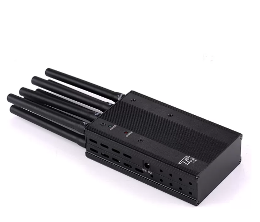
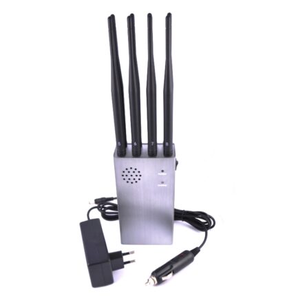
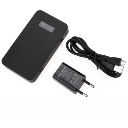
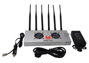
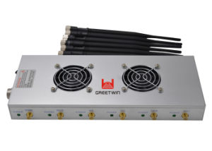
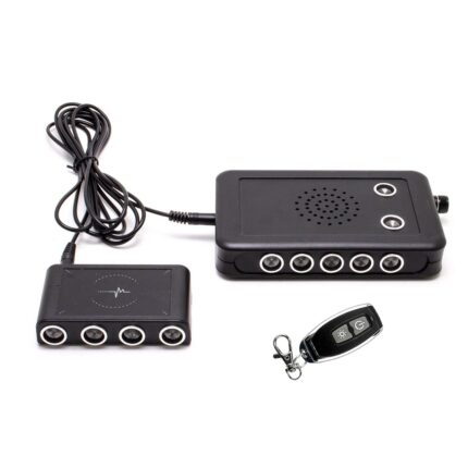
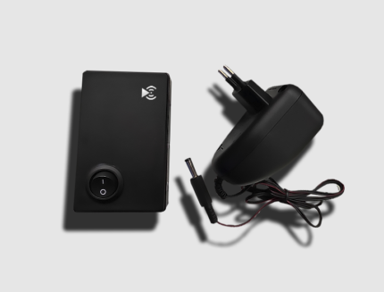
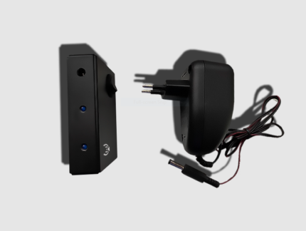
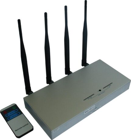
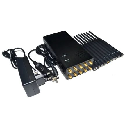
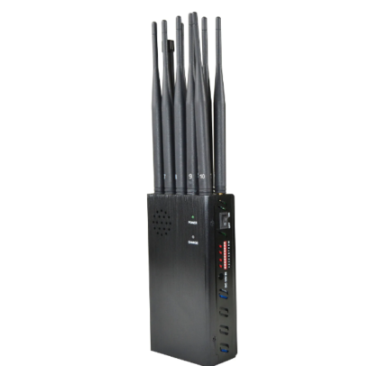
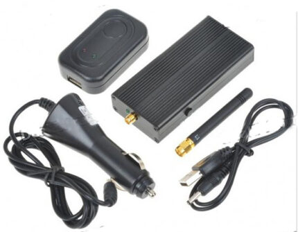
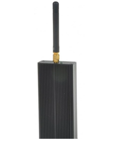
Jammer for satellite communication GPS/GLONASS, Powerful 2/4 Wadded Jammer – jammer for satellite communications and navigation Designed to block (suppress) GPS trackers and loggers. Drones and quadcopters are losing positioning.
Navigation jammer will protect from GPS tracking. Due to the widest possible range of frequencies, it makes the operation of most existing satellite systems impossible.
Apart from this The jammer is effective for trackers/loggers, GPS/Glonass receivers without a SIM card!
Doesn’t inhibit navigation in smartphones and trackers with a SIM card!.
Jammer for satellite communication GPS/GLONASS Category
GPS logger is a special class of GPS radio receivers that can operate in the mode of a conventional GPS receiver (receiving information from the NAVSTAR satellite constellation and transmitting it to another device via Bluetooth or USB) or, in the recorder/logger mode, recording information about the distance traveled ( track) to its built-in memory.
Subsequently, the accumulated information from the receiver can be downloaded to a computer for its analysis.
GPS logger is commonly used for satellite monitoring of people, pets and other valuable objects.
A GPS logger differs from a conventional GPS receiver by the absence of a screen, and from a GPS tracker it is distinguished by the absence of a GSM module that provides online data transmission to the server center monitoring.
Dronesquadcopters lose their coordinates. also When the device is turned on, they go into ATTI mode – manual control.
The drone flies in the wind (most often, in the direction of China), an unprepared pilot can crash, lose the drone.
ATTI mode will scare away photo-video filming of your object, territory.
In addition The drone will try to return to the take-off point in manual mode. Auto-modes of video shooting, automatic return to the take-off point, within the range of the device are not possible.
Option number 1
Blocks the work of any trackers / loggers without a SIM card.
Frequency range – also all household navigators, loggers, GPS / Glonass receivers, lose their identification
drones / quadcopters coordinates.
MAIN TECHNICAL CHARACTERISTICS.
– operating frequency range: Upper L-band: GPSL1 + GlonassG1, GalileoE1, QZSS, BEIDOU (1559-1610MHz).
– range of 100 meters (stable suppression, no satellites and no coordinates. Interference up to 130 m).
– output power: 2W.
– frequency thermal stabilization.
– antennas – built-in.
– working time – unlimited.
– supply voltage 6-18V.
– current consumption: 12V 800mA.
– has protection against power reversal.
– dimensions, weight: 151x99x21mm, 220 g.
Option number 2
– range of 200 meters (stable suppression, no satellites and coordinates. Interference up to 260m).
– output power: 2×2 W.
– current consumption: 12V mA.
The range was measured – the device is 1.5 m from the ground. In addition to this Test smartphone with GPS satellite program
viewer. in hand, 1.5m from the ground. On the suppressor, instead of the back cover, you can install a battery pack and use the device
in a portable version.
Removable batteries, installed on holders (holders). You can have as many charged batteries as you like and change as needed. Combat
set – 2 pieces.






Reviews
There are no reviews yet.